

Forty kilometres from the nearest road, at 4,600 metres on a high Andes pass between the Bolivian altiplano and the Chilean border, your phone shows zero bars. The storm that was forecast for tomorrow arrived twelve hours early. Your trekking partner twisted her ankle on the descent and cannot walk on the terrain ahead. You need to contact the outside world, and you have four options: wait for the weather to clear and walk out, rely on other trekkers to pass through, signal with your emergency whistle — or press the SOS button on your satellite communicator.
Mobile phone coverage in the remote Andes is not unreliable — it is genuinely absent. The mountain geography, the altitude, and the economics of infrastructure deployment in sparsely populated high-altitude terrain mean that the most spectacular Andes routes are also the most completely disconnected from cellular networks. The Ausangate Circuit, the Huayhuash Trek, the high passes of the Cordillera Blanca, Torres del Paine’s O Circuit, the Bolivian altiplano’s remote corners — all of them have one thing in common: no signal.
This guide covers two categories of technology for remote Andes connectivity: satellite communicators that work anywhere on earth with a clear sky view, and signal boosting devices that extend the range of existing cellular networks at trail margins, in valleys, and at guesthouses near but not within cellular coverage. Together, these tools form the safety and communications infrastructure for anyone serious about remote Andes travel in 2026.

Flights to South America
Search flights to your Andes expedition gateway
Lima, La Paz, Puerto Montt, and Punta Arenas — compare all airlines and find the best fares for your remote Andes adventure.
Book flexible fares with free cancellation when your expedition dates are not yet confirmed. Search all routes on Skyscanner.
Understanding the Dead Zones: Where Andes Cellular Coverage Disappears
Cellular coverage maps for South America, produced by carriers and regulators, show coverage areas based on theoretical signal propagation from tower locations. These maps are optimistic for flat terrain and genuinely misleading for the Andes, where the actual coverage radius of a cell tower is dramatically reduced by terrain features.
Valley shadowing: Cell towers are typically deployed in valley floors and on hillsides facing population centres. On the opposite side of a ridge from a tower, signal drops to zero regardless of theoretical coverage. Andes trekking routes frequently cross ridgelines and traverse valley slopes that face away from tower locations — entering and exiting coverage areas multiple times per day on the same trail.
Altitude cut-off: Above approximately 4,500 metres on most Andes ranges, the number of cell towers with line-of-sight to that elevation falls to near zero. The high passes of the Cordillera Blanca (4,700–5,000m), the Bolivian altiplano above Uyuni (3,700–4,200m), and the high circuits of Patagonia all fall outside reliable cellular coverage for extended sections.
Also …
The canyon effect: Deep Andes valleys — the Colca Canyon (3,191m below the rim), the Apurimac Canyon, the Cotahuasi Canyon — present the opposite problem from high passes. Signal cannot reach deep into narrow canyons from towers positioned on ridges above. Trekkers at canyon bottoms may be only 10 kilometres from a town with full coverage but completely out of signal.
Patagonia’s unique challenge: Torres del Paine and the southern Andes face a structural coverage gap because the population density does not justify carrier investment in tower infrastructure for the scale of the terrain. A single Patagonian mountain range may be 200 kilometres long with one small town at each end — carrier infrastructure covers the towns, not the range between them.
Download coverage maps before every Andes trek — not carrier marketing maps
For accurate Andes coverage mapping, use OpenSignal or GSMA Coverage Checker rather than carrier marketing pages. OpenSignal shows crowd-sourced actual coverage data from users who have trekked the same routes — far more accurate than theoretical carrier maps. Download coverage information for your specific route before departure and identify exactly where you will lose signal.
Satellite Communicators vs. Signal Boosters: Choosing the Right Tool
| Device Type | Works With No Signal | Two-Way Messaging | SOS Function | Monthly Cost | Best Use Case |
|---|---|---|---|---|---|
| Satellite Communicator (Garmin inReach) | Yes — global Iridium | Yes | Yes — 24/7 GEOS | $14.95–$49.95/mo | Remote trekking, expedition |
| Satellite Messenger (SPOT) | Yes — Globalstar | Limited (SPOT X) | Yes — GEOS | $11.95–$24.95/mo | Budget satellite safety backup |
| Vehicle Signal Booster (WeBoost) | No — amplifies existing | N/A | No | One-time purchase | Road trips, van travel |
| Portable Camp Booster (Cel-Fi GO+) | No — amplifies existing | N/A | No | One-time purchase | Base camps near signal |
| Long-Range WiFi Antenna (TP-Link CPE510) | No — extends WiFi only | N/A | No | One-time purchase | Lodge/camp WiFi extension |
| Starlink (portable) | Yes — satellite | Yes (internet) | No | $50–$150/mo + hardware | Base camp internet |
Top 6 Signal Boosters and Satellite Communicators for Remote Andes Travel 2026
How to Choose Between a Satellite Communicator and a Signal Booster
The fundamental distinction between these two device categories determines which one you need — or whether you need both:
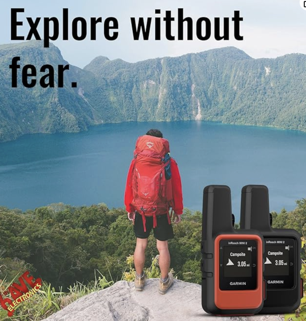
Satellite communicators (Garmin inReach Mini 2, SPOT X, Garmin inReach Messenger) create communication capability where none exists. They do not amplify or extend a cellular signal — they replace it with a satellite connection. If your route takes you completely beyond cellular coverage (any multi-day high-altitude Andes trek), a satellite communicator is not optional — it is the only means of emergency communication and the only way to maintain contact with the outside world.
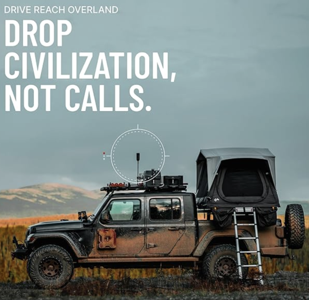
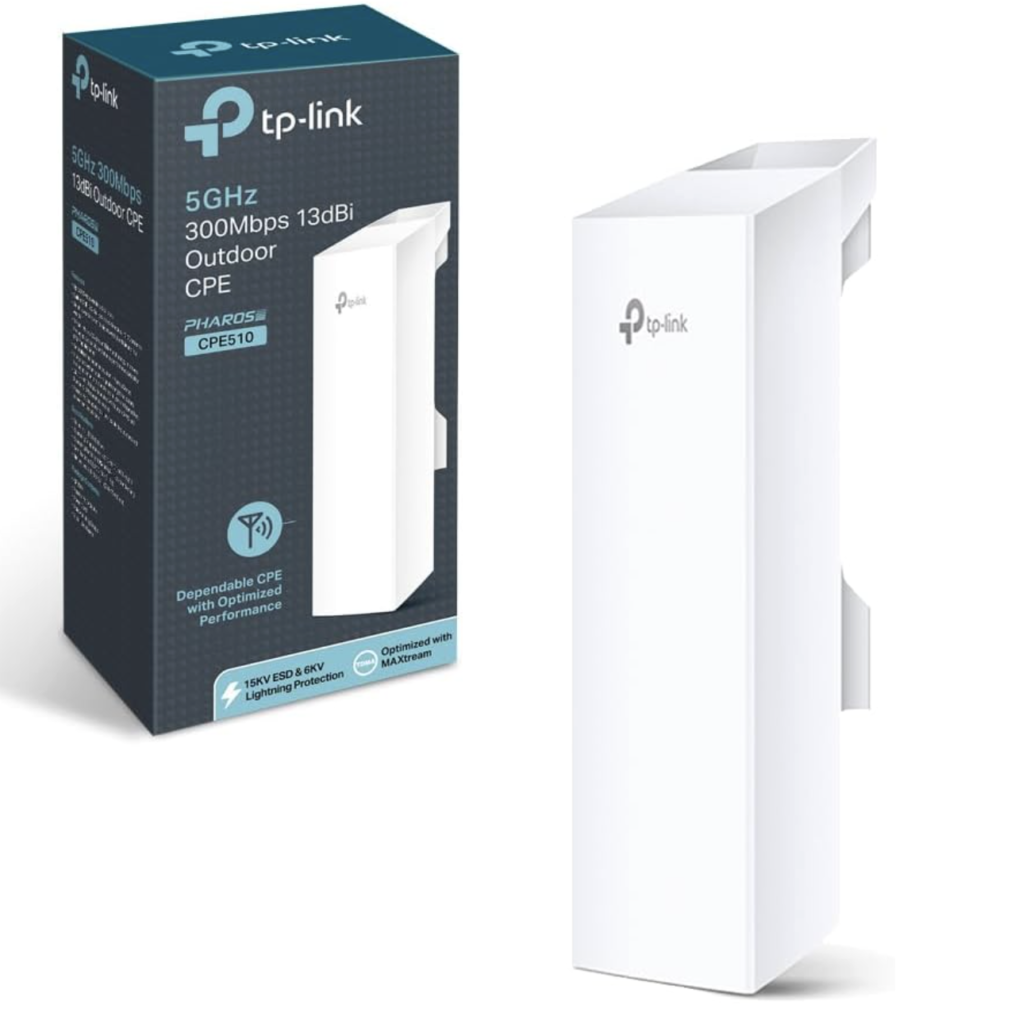
Signal boosters (WeBoost Drive Reach, Cel-Fi GO+) and WiFi extenders (TP-Link CPE510) amplify or extend signals that already exist. They cannot create connectivity where there is no signal — they can only improve weak signal at coverage margins. If your route passes through areas with zero cellular coverage, a signal booster provides zero benefit for those sections. Signal boosters are most valuable for road travelers, guesthouses in marginal coverage, and base camps near but not within good cellular coverage.
The ideal Andes expedition kit for serious remote trekking combines both: a satellite communicator for genuine safety communication anywhere on the route, and a signal booster or travel router for maximising connectivity quality in areas where cellular signal exists.
Best Portable Travel Routers & SIM Hotspots for South America 2026
In coverage areas, maximise your connectivity with a travel router or SIM hotspot — this guide covers the best options for every Andes travel style.
Read the Guide →Satellite Communicator Subscription Plans: What You Actually Need for an Andes Trip
Satellite communicators require a paid subscription plan to activate the satellite messaging and SOS functions. Understanding which plan level is appropriate for an Andes trip — and how to activate and suspend plans efficiently — saves significant cost.
Garmin inReach subscription tiers: The Safety plan ($14.95/month) includes unlimited SOS and device tracking but limits text messages to 10 per month. The Recreation plan ($34.95/month) includes 40 messages and preset tracking. The Expedition plan ($64.95/month) includes unlimited messages and real-time tracking — appropriate for month-long Andes expeditions where you want to send daily location updates to family. Garmin allows plan suspension (no monthly charge) for months when the device is not in use — critical for annual travelers who use the device only during a 3-week Andes trip.
SPOT subscription tiers: Basic ($11.95/month) covers tracking and SOS. The SPOT X plan ($24.95/month) enables two-way messaging. Both can be activated with no long-term contract — you can buy a SPOT device and activate a one-month plan the week before your Andes trip, then cancel on return.
Activation timing: Activate your satellite communicator subscription at least 2 weeks before departure to ensure the device is fully registered with GEOS emergency services and that your emergency contacts (ICE contacts) are programmed and tested. Test the messaging function (not SOS) from your home to confirm everything works before you are in the field.
Best Rugged Phone Cases for Andes Trekking 2026
Your phone is your primary navigation and communication tool in coverage areas — protect it with a case designed for the specific demands of Andes trekking.
Read the Guide →
Pre-Trek Communication Checklist: What to Set Up Before You Leave the Last Town
The window between the last town with reliable connectivity and the start of a remote Andes circuit is your last opportunity to prepare your communication infrastructure for the route ahead. This checklist covers the steps most trekkers forget until it is too late.
Download offline maps and content: Maps.me, Gaia GPS, or OSMAnd with the full offline map package for your trekking region must be downloaded before you lose signal. A satellite communicator provides emergency messaging — but navigation in zero-signal terrain requires offline maps. Download at your hotel with WiFi the night before departure.
Test your satellite communicator: Send a test non-SOS message from the last town with good sky visibility. Confirm your emergency contacts receive it. Check that the device has satellite lock (LED indicator or screen confirmation). A device that has not been used for months may need a firmware update — always update before departure, never on the trail where a failed update leaves you without the device.
Tours y Excursiones
Expediciones guiadas a zonas remotas del Altiplano boliviano, la Cordillera Blanca y la Patagonia
Circuitos al Ausangate, Huayhuash y Torres del Paine O-Circuit con guias locales — en zonas donde la comunicacion satelital es la unica opcion.
Ver Tours en CivitatisLet’s continue
Share your itinerary: Your emergency contacts need your route, your expected daily camp locations, your check-in schedule (the time you will send a daily OK message via satellite), and the escalation procedure (when to contact rescue services if they do not hear from you). A satellite communicator is only useful if someone on the other end knows what to do with the information.
Charge everything fully: Satellite communicator, power bank, travel router, phone — all should be at 100% before departing the last town. The next charging opportunity may be 3–7 days away depending on your circuit. A satellite communicator on low battery that cannot complete an SOS transmission is the worst possible scenario in a remote emergency.
Note the local emergency numbers: Even in areas with sporadic coverage, a single bar of signal may allow an emergency call. In Peru: 911 (national) or 105 (PNP police). Also in Bolivia: 110 (police) or 118 (medical). In Chile: 131 (ambulance) or 132 (Conaf park rangers). In Argentina: 911. Save these numbers offline in your phone before departing.
Accommodation in South America
Find base-camp accommodation for your remote Andes trek
Cusco, Huaraz, Uyuni, and El Chalten — the gateway towns for the most remote Andes circuits.
Book before you go — accommodation near remote trailheads fills fast in peak trekking season. Search accommodation on Booking.com.

Frequently Asked Questions
Do I need a satellite communicator for trekking in the Andes?
If your route goes beyond cellular coverage for more than one day — which includes virtually every serious multi-day Andes circuit — a satellite communicator is strongly recommended. Not legally required, but strongly recommended. The Garmin inReach Mini 2 has been used to coordinate rescues on the Ausangate Circuit, the Cordillera Huayhuash, and Torres del Paine on routes where no cellular signal exists. The question to ask is not ‘do I need it?’ but ‘what is my communication plan if something goes wrong at the most remote point on my route?’. If the answer is ‘wait and hope’, a satellite communicator changes that answer.
What is the Iridium network and why does it matter for Andes trekking?
Iridium is a satellite constellation of 66 Low Earth Orbit (LEO) satellites that provides genuine global coverage — including both poles. Every point on Earth with a clear sky view has Iridium coverage. This contrasts with Globalstar (used by SPOT), which has gaps at high latitudes, and Inmarsat (used by some older EPIRB devices), which has gaps near the poles. For Andes trekking, the practical difference is that Iridium works on every route in every Andes country, including southern Patagonia and Tierra del Fuego where Globalstar coverage is reduced. If you are trekking in extreme southern Patagonia or planning high-altitude routes in the Bolivian Andes, Iridium is the safer choice.
Can I use a signal booster in my rental car in South America?
Vehicle-mounted signal boosters (WeBoost Drive Reach) are legal for consumer use in most South American countries, though the regulatory framework varies. In Chile and Argentina, self-regulating boosters that comply with the carrier-grade specifications are generally permitted. In Bolivia and Peru, the regulatory environment is less defined for consumer boosters — in practice, rental use of a magnetically mounted vehicle booster is rarely questioned. The key is to use a self-regulating booster (WeBoost, Cel-Fi) rather than a fixed-gain booster, which can interfere with carrier networks and is more likely to attract regulatory attention.
How far does a satellite communicator message travel?
There is no meaningful distance limit for satellite communicator messages — the Iridium network routes messages through its satellite constellation to ground stations and then through the internet to any email address or SMS number in the world. A message sent from the summit of Huascaran (6,768m, deep in the Cordillera Blanca with zero cellular coverage) reaches the recipient in 15–120 seconds depending on satellite geometry overhead. The only limitation is that the device must have a clear sky view for the satellite to receive the signal — messages sent from inside buildings or deep in narrow canyons may fail.
Can I make a phone call from a satellite communicator?
The Garmin inReach Mini 2 and inReach Messenger do not support voice calls — they are text-messaging and SOS devices. If you need voice satellite calls from remote Andes locations, the Iridium Extreme and Iridium GO! (which creates a satellite WiFi hotspot for VOIP calls) support voice at significantly higher subscription cost ($75–$150/month and $1.50–$3.50 per minute for calls). For the vast majority of Andes trekking safety and coordination needs, two-way text messaging via inReach is sufficient — voice is rarely necessary for rescue coordination, and GEOS can relay information between text-only devices and verbal emergency services.
Is a signal booster worth it for an Andes guesthouse or lodge?
A Cel-Fi GO+ or similar intelligent booster is worth installing at an Andes guesthouse on the edge of cellular coverage if the guesthouse hosts multiple guests who need connectivity. The one-time hardware cost ($300–$500) amortises quickly if it means guests can use their devices reliably throughout their stay. For a solo traveler carrying a booster for personal use, the cost-benefit is less clear — the GO+ costs more than a month’s Garmin inReach subscription and only works where signal already exists. For travelers who frequently stay in marginal-coverage guesthouses, it is a worthwhile investment; for occasional trekkers, a satellite communicator covers the genuinely zero-coverage scenarios more effectively.
What is the range of a signal booster on an Andes mountain road?
A WeBoost Drive Reach OTR can extend the usable signal range from a cell tower by approximately 40–70 kilometres on flat terrain. In the Andes, where terrain shadowing and elevation changes affect propagation, the practical extension is more variable — on open altiplano roads, you may maintain connectivity 50+ km further from the nearest tower; in narrow canyon roads, the booster may provide little benefit due to terrain blocking. The most reliable performance is on the long, straight desert and altiplano roads of northern Chile and Bolivia where the topography allows maximum signal propagation from tower to antenna.
Can I rent a satellite communicator for an Andes trek?
Yes — satellite communicator rental is available in Lima, Cusco, and other major Andes trekking hubs through outdoor equipment shops and some trekking operators. Daily rental rates are typically $5–$15 per day depending on the device model and the included subscription plan. Rental makes sense for a single trek — buying a Garmin inReach Mini 2 ($350) and a 1-month subscription ($35) is more expensive than renting for a 10-day trek ($50–$150 rental). For travelers who trek in the Andes annually, buying is more cost-effective after 2–3 trips. Ensure any rental unit has a valid GEOS subscription activated before departure.
How do I register my emergency contacts with a satellite communicator?
Both Garmin and SPOT require you to register emergency contacts (ICE — In Case of Emergency) through their respective online portals before departure. For Garmin, this is done at explore.garmin.com; for SPOT, at findmespot.com. Register a minimum of two emergency contacts who understand the system: what to do if they receive a non-emergency tracking update, what to do if they receive an SOS alert (do not attempt to reach rescue services themselves — GEOS handles this), and your expected itinerary. Test the messaging function from your home before departure to confirm your contacts receive messages correctly.
What happens when you press SOS on a Garmin inReach in the Andes?
Pressing and holding the SOS button on a Garmin inReach Mini 2 initiates an emergency response sequence: the device sends an SOS signal with your GPS coordinates to the Iridium satellite network, which relays it to GEOS International Emergency Response Coordination Centre. GEOS analysts (available 24/7 in multiple languages) assess the situation, contact local rescue authorities (SERNANP and PNP in Peru, CONAF in Chile, Parques Nacionales in Argentina and Bolivia) with your precise location, and maintain two-way text communication with you to relay medical status, rescue ETA, and instructions. Cancel the SOS through the two-way channel if the situation resolves — accidental SOS triggers can be cancelled, though local authorities may still investigate.
Conclusion: Never Let Distance Be the Reason You Cannot Call for Help
Remote Andes travel is some of the most extraordinary experience available to travelers on earth. The high passes, the glacial lakes, the condors, the isolation — the same features that make these routes extraordinary are the features that make them genuinely risky without the right safety communication infrastructure in place.
A satellite communicator is not a substitute for preparation, training, or sound mountain judgment. It does not make an inexperienced trekker safe on the Huayhuash circuit. What it does is close the single most dangerous gap in any remote Andes safety plan — the inability to communicate with rescue services from beyond cellular coverage. That gap, closed, means that almost every serious Andes incident becomes survivable given timely rescue coordination.
The Garmin inReach Mini 2 is the recommendation we stand behind without hesitation for any trekker heading more than a day into remote Andes terrain. The SPOT X is a sound budget alternative for routes in good Globalstar coverage. The WeBoost Drive Reach transforms Andes road trips. Together, these tools ensure that however remote your route, you are never truly unreachable. Explore the full Uncover the Andes Gear Lab Hub — every safety and connectivity tool you need for confident remote Andes travel, reviewed and tested in the field.