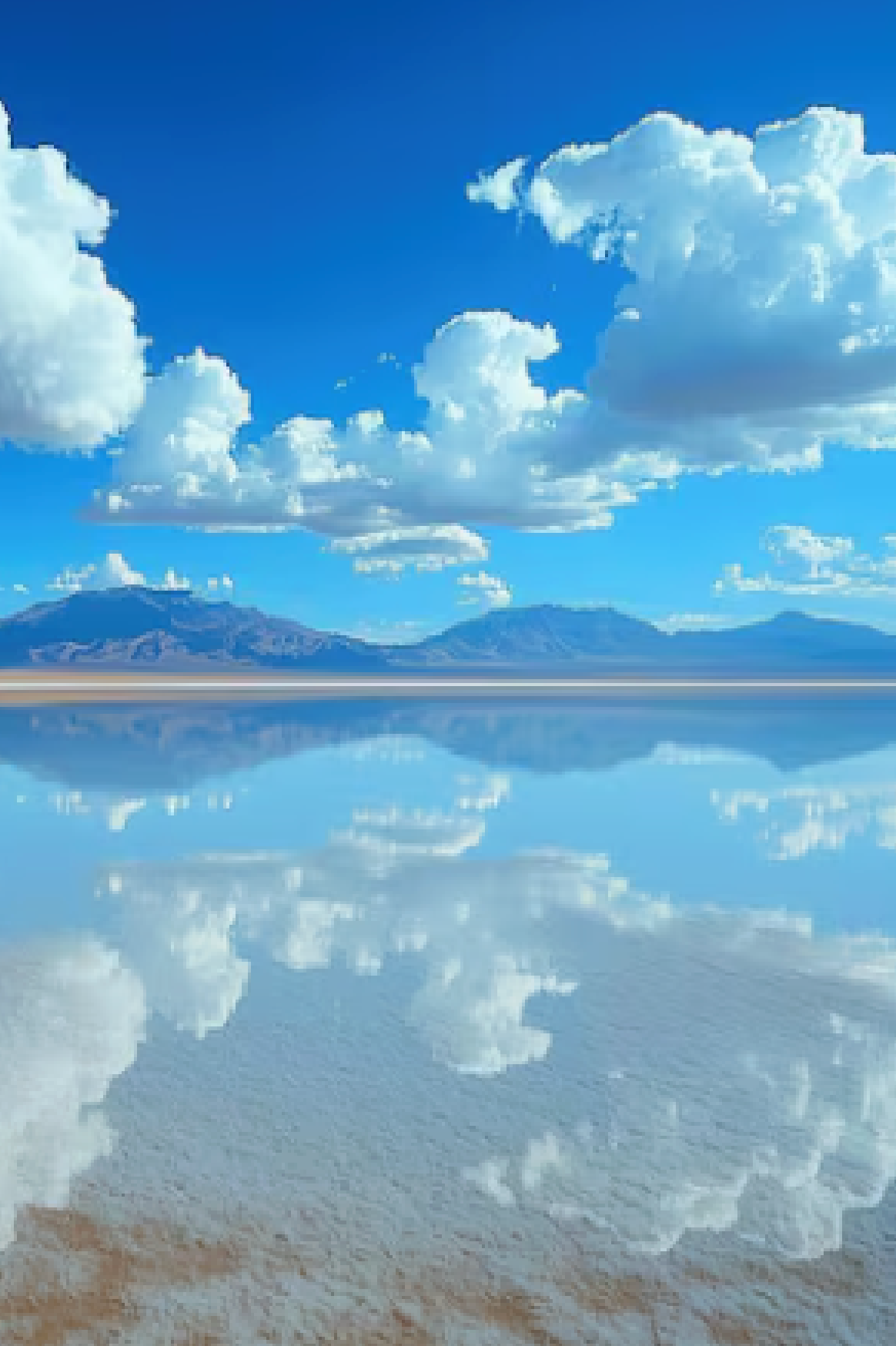

Patagonia is not one landscape — it is a thousand. The word covers a region larger than Germany and France combined, stretching from the Rio Colorado in northern Argentine Patagonia to the tip of Tierra del Fuego at latitude 55 degrees south. Within that territory: the Fitz Roy massif rising improbably above the Patagonian steppe, one of the most dramatic mountain formations in the world. The Carretera Austral — a 1,240-kilometre road through Chilean Patagonia connecting fjords, glaciers, hot springs, and hanging valleys accessible by no other means. Ushuaia, the southernmost city on Earth, where the Beagle Channel separates Tierra del Fuego from Cape Horn.
Most photographers who visit Patagonia see Torres del Paine and consider the region covered. They have seen one cathedral in a city of cathedrals. This guide covers the photography landscape beyond Torres del Paine — El Chalten and Mount Fitz Roy in Argentine Patagonia, the Carretera Austral’s hidden gems in Chilean Patagonia, and Tierra del Fuego’s end-of-the-world landscapes — and the practical photography strategy for connecting them in a coherent southern Andes photography itinerary.
Best Insulation Jackets for Andes and Patagonia 2026
The warmth layer for Patagonian photography — down vs synthetic, which jacket works in Patagonia’s wet conditions, and how to layer for all-day cold-weather shooting.
El Chalten and Mount Fitz Roy: Argentina’s Photography Capital
El Chalten is a small trekking village at the base of Mount Fitz Roy in Argentine Patagonia — founded only in 1985 as a strategic settlement to establish Argentine territorial claim, it has grown into one of the world’s premier trekking destinations. The photography is exceptional and, for many landscape photographers, preferable to Torres del Paine: the village infrastructure is more relaxed, the trails are free (no entry fee for the national park), and Fitz Roy’s vertical granite face — at 3,359 metres, one of the most technically difficult mountaineering routes in the world — photographs with a drama that rivals anything in Torres del Paine.
Laguna de Los Tres — the Fitz Roy base camp sunrise
The classic Fitz Roy photograph is taken from Laguna de Los Tres — a high glacier lake at the base of the Fitz Roy massif, reached by a 4-hour hike from El Chalten with 900 metres of elevation gain on the final approach. The photography protocol is identical to Mirador Las Torres: pre-dawn departure (3:00 AM from El Chalten), sunrise at the viewpoint, the mountain face lit from the east in pink and orange tones that last approximately 20–30 minutes before fading to standard daylight. In autumn (March–April), the lenga beech trees around the lake turn vivid red and orange, adding warm foreground tones to the cool granite and sky. This is when many professional Patagonia photographers consider Laguna de Los Tres at its absolute best.
Laguna Torre and Cerro Torre
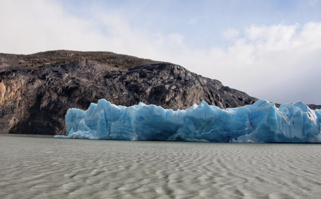
Cerro Torre — the needle-like spire rising 3,128 metres from the Patagonian icefield — is photographed from Laguna Torre, a 3-hour return hike from El Chalten. Cerro Torre is frequently capped in cloud (its summit is one of the most cloud-affected peaks in Patagonia) and the clear summit shots that photograph well are genuinely rare — many photographers spend multiple days attempting to capture the tower in clear conditions. The lake itself, however — with icebergs calved from the Glacier Torre floating in its turquoise water, framed by the surrounding peaks even in partial cloud — is reliably photogenic throughout the day.
| Location | Peak Photography Season | Best Light | Key Shot | Access |
|---|---|---|---|---|
| Laguna de Los Tres (Fitz Roy) | March–April (autumn colours) | Sunrise — east-facing mountain | Fitz Roy over lake in autumn tones | 4-hr hike from El Chalten |
| Laguna Torre (Cerro Torre) | Oct–April (summer/shoulder) | Morning — cloud permitting | Icebergs in turquoise lake | 3-hr return from El Chalten |
| Mirador Condores | All seasons | Sunrise / sunset | Panoramic El Chalten valley | 45 min from El Chalten |
| Carretera Austral — Cerro Castillo | Nov–April | Afternoon | Volcanic pinnacles over valley | Day trip from Coyhaique |
| Carretera Austral — Queulat Hanging Glacier | Oct–April | Overcast ideal | Hanging glacier above fjord | Accessible by road |
| Tierra del Fuego — Beagle Channel | All seasons | Blue hour / storm light | End-of-world seascape | Ushuaia day tours |
| Perito Moreno Glacier | All seasons | Morning — east light | Calving ice face, iceberg formations | El Calafate day trip |
Torres del Paine Photography Guide 2026
The companion article to this guide — best spots, light windows, puma photography, and the W Circuit photography itinerary.
The Carretera Austral: Chile’s Most Photogenic Road
The Carretera Austral (Highway 7) runs 1,240 kilometres from Puerto Montt in northern Chilean Patagonia to Villa O’Higgins near the Argentine border, through a landscape of fjords, hanging glaciers, temperate rainforest, turquoise rivers, and remote communities accessible by no other road. It is one of the great road photography routes in the world — not for the speed of movement but for the density of extraordinary landscapes per kilometre.
Parque Nacional Queulat — the hanging glacier
Queulat’s Ventisquero Colgante (Hanging Glacier) is one of the most visually improbable landscapes on the Carretera Austral — a glacier suspended on a cliff face above a fjord, with two waterfalls pouring from the glacier’s edge into the water below. Photograph from the viewpoint boardwalk using a 70–135mm telephoto to compress the glacier face against the forest-covered cliffs. Overcast conditions photograph this scene better than sunshine — the soft even light reveals the glacier’s blue tones and the waterfall detail without the harsh contrast of direct sun.
Cerro Castillo National Reserve
Cerro Castillo — a jagged volcanic spire near Villa Cerro Castillo on the Carretera Austral — is the most dramatic single peak between Puerto Montt and Coyhaique. The 4-day circuit trek (or day hike to the viewpoint) provides compositions of the dark volcanic rock against the surrounding grassland and snowfields. Autumn (March–April) again transforms the surrounding beech forest to gold and red, creating the best foreground-to-background colour contrast of the year. Late afternoon light from the west illuminates the southwest face directly.
Marble Caves of Puerto Rio Tranquilo
The Marble Caves (Capillas de Marmol) of General Carrera Lake are accessed by boat from Puerto Rio Tranquilo — a 30-minute boat ride across the turquoise waters of one of South America’s largest lakes to a series of marble caverns carved by wave action over millennia. The interior photography is challenging and extraordinary: the turquoise lake water reflected on the swirling marble ceiling creates patterns of colour and light that have no parallel in landscape photography. Shoot with a wide-angle lens at f/4–f/5.6 with ISO 800–1600 in the naturally lit interior. Morning light (8:00–11:00 AM) enters the cave openings most effectively.
Perito Moreno Glacier: South America’s Most Accessible Active Glacier
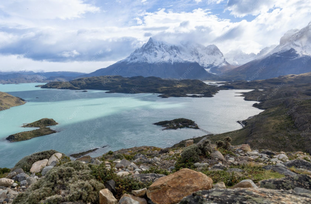
Perito Moreno Glacier — accessible by a 1.5-hour drive from El Calafate in Argentine Patagonia — is the most photographed glacier in South America and one of the few glaciers in the world that is not currently retreating. It advances approximately 2 metres per day and calves enormous ice blocks into Lago Argentino in a continuous process that can be observed from the well-designed boardwalk system on the south shore.
Photography from the boardwalks: The boardwalk system provides multiple elevated and ground-level viewing platforms along a 2-kilometre stretch facing the glacier’s 5-kilometre-wide face. The 60-metre-high ice cliffs are best photographed in morning light from the eastern boardwalk sections, when the sun illuminates the face from the east and reveals the blue ice tones in the crevasses and calving faces. A 70–200mm telephoto is the most useful focal length — it compresses the ice detail while still capturing the full height of the cliff face.
Calving photography: Perito Moreno calves continuously — small ice falls happen every few minutes, major calving events (blocks the size of apartment buildings) several times per day. The acoustic warning is your shutter trigger: a deep cracking sound from the glacier face 2–3 seconds before the calving event allows you to raise the camera and shoot. Set continuous shooting mode at 1/1000–1/2000 shutter speed and track the most active section of the face. Patience over 2–3 hours produces the best calving shots.
Tierra del Fuego: Photography at the End of the World
Tierra del Fuego — the archipelago at the southern tip of South America — is divided between Argentina and Chile and offers landscapes that are simultaneously desolate and spectacular. The photography here is different from the granite peaks and turquoise lakes further north: the dominant visual elements are the Beagle Channel stretching toward Cape Horn, the lenga beech forests that turn vivid orange in autumn (March–April), and the dramatic skies of latitude 55 degrees south where weather systems rotate continuously around the globe without landmass to interrupt them.
Ushuaia and the Beagle Channel
Ushuaia — the self-proclaimed southernmost city in the world — sits on the northern shore of the Beagle Channel. The photography from the city waterfront at blue hour (both dawn and dusk) frames the channel water against the mountains of Chile’s Tierra del Fuego on the opposite shore, with the city lights reflected in the still water in the early morning before wind builds. The Channel itself is photographed from the Beagle Channel boat tours (3–4 hours) that visit sea lion colonies, penguin colonies on Isla Martillo (accessible October–April when penguins are present), and the Chilean islands opposite Ushuaia.
Parque Nacional Tierra del Fuego
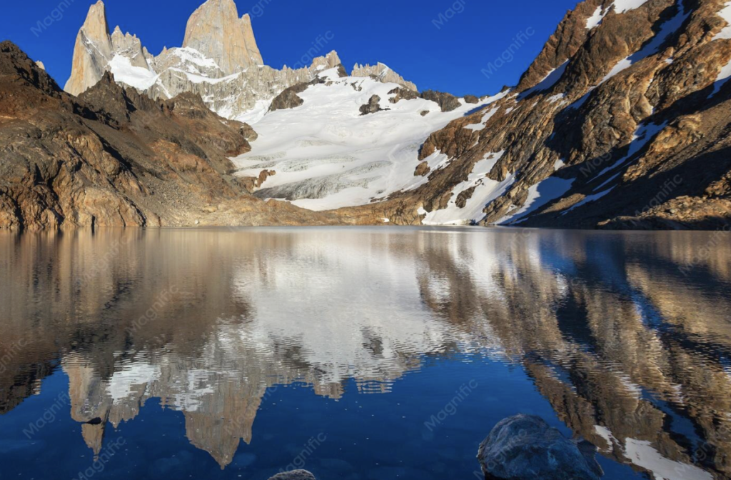
The national park west of Ushuaia covers the southern end of the Andes at their most weathered — low, rounded peaks covered in beech forest descending directly into fjords and channels. The Lago Roca area provides the best photography: the lake surface reflects the surrounding forest and peaks in morning calm, and the autumn colour transformation (March–April) turns the beech forest brilliant orange and red against the dark water. The park’s western reaches, accessible by boat from the main visitor area, see almost no tourists and provide genuine wilderness landscape photography.
Essential Gear for Southern Andes Photography
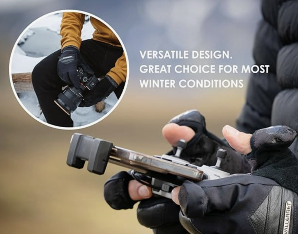
The range of environments covered in this guide — from the glacial lakes of El Chalten to the marine environments of the Beagle Channel to the fjord channels of the Carretera Austral — requires gear that is versatile, weather-resistant, and capable of the full range of photography from wide landscape to long-telephoto wildlife.
Planning a Southern Andes Photography Itinerary
The locations in this guide span three countries (Chile, Argentina, and the Chilean-Argentine border zone) and require careful sequencing to avoid backtracking across thousands of kilometres. The most efficient circuit connects the locations geographically rather than by country border.
Recommended 21-day southern Andes photography circuit:
Days 1–2: Buenos Aires or Santiago. International arrival. Buenos Aires for Argentine Patagonia approach; Santiago for Chilean Patagonia approach.
Days 3–5: El Calafate (Perito Moreno Glacier). Fly Buenos Aires to El Calafate. Full day at Perito Moreno Glacier — morning light on the ice face, afternoon calving photography. Day 2: Boat tour on Lago Argentino for iceberg photography and glacier approach.
Days 6–9: El Chalten (Fitz Roy). 3-hour bus from El Calafate. Pre-dawn Laguna de Los Tres hike (Day 7 — after one rest day). Cerro Torre lagoon photography (Day 8). Mirador Condores for panoramic valley photography (Day 9 departure morning).
Days 10–15: Torres del Paine (W Circuit). Cross into Chile from El Chalten (direct bus connects El Chalten to Puerto Natales). W Circuit over 5 days — sunrise Mirador Las Torres, Valle del Frances, Grey Glacier.
Days 16–17: Carretera Austral (Puerto Montt–Coyhaique section). Fly Puerto Natales to Puerto Montt. Drive or bus south on Carretera Austral — Parque Nacional Queulat hanging glacier, Cerro Castillo.
Days 18–21: Tierra del Fuego. Fly to Ushuaia. Beagle Channel boat tour (Day 18). Parque Nacional Tierra del Fuego (Days 19–20). Depart from Ushuaia or Buenos Aires (Day 21).
Best Portable Solar Panels for Andes and Patagonia 2026
Power management for the Carretera Austral and Tierra del Fuego — where solar panels are less reliable than in Bolivia but still useful on clear days.
Weather Strategy for Southern Andes Photography
The defining characteristic of southern Andes weather is its rapid unpredictability. A forecast of rain does not mean 24 hours of rain — it means multiple cycles of cloud, rain, clearing, and sunshine within the same day. The photographers who work best in Patagonia are those who treat every clearing as a shooting opportunity and every stable period of sunshine as a chance to move to the next location.
The clearing shot strategy: When a storm front passes through, the 20–40 minutes of clearing behind the front typically produces the most dramatic light in Patagonian photography — the sun emerges at low angle, the atmosphere is washed clean of haze by the rain, and the contrast between the dark storm cloud and the illuminated peaks is extraordinary. Keep your camera accessible and your rain cover deployable during storms specifically for this window.
Wind management: Sustained winds above 50 km/h make handheld long-lens photography nearly impossible. Use a vehicle as a windbreak for wildlife telephoto work, position yourself behind rock formations for landscape long exposures, and increase ISO to allow faster shutter speeds that freeze camera shake induced by wind. At Fitz Roy and Torres del Paine, wind forecasts of 80+ km/h are common — a sturdy tripod with low centre of gravity and a ballast hook for hanging your pack is the only reliable stabilisation system in these conditions.
Conclusion: The Patagonia Beyond the Famous Image
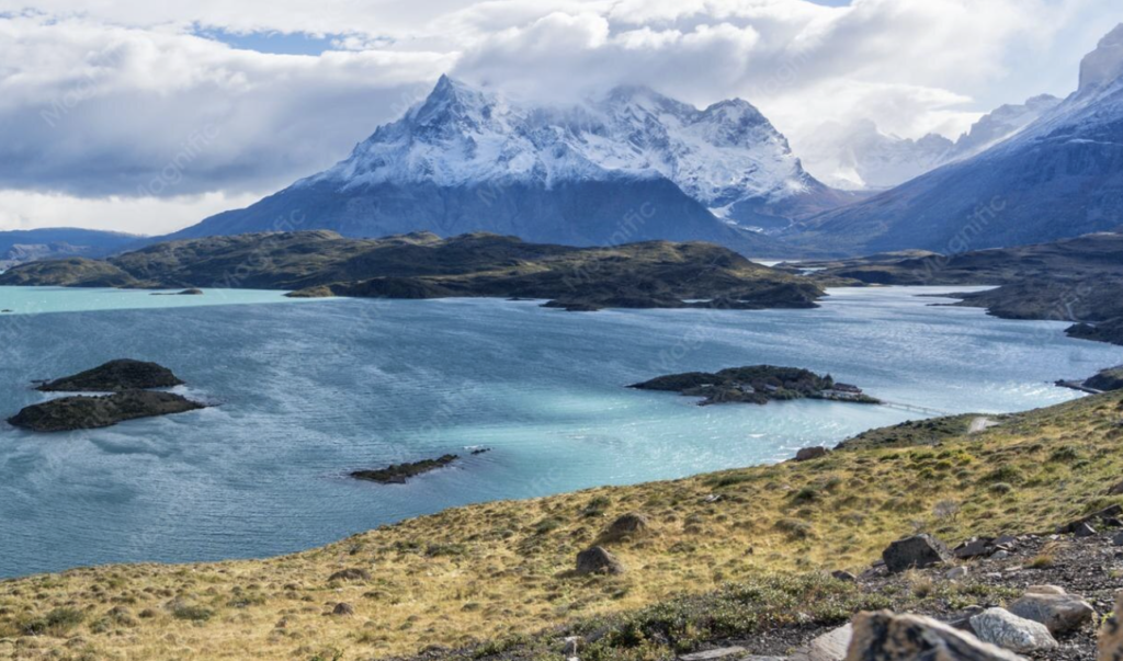
The photograph most people recognise as Patagonia — the three towers of Torres del Paine reflected in the laguna below at sunrise — is extraordinary. It is also the starting point, not the destination. The Carretera Austral runs 1,240 kilometres through landscapes that most travel photographers have never seen. The autumn forests of El Chalten turn colours that rival New England and the Canadian Rockies. The Beagle Channel at blue hour, with the lights of Ushuaia reflected in water that leads directly south to Cape Horn, is unlike any photograph you have made before.
Patagonia gives more to the photographers who stay longer, move slower, and treat bad weather as an opportunity rather than a delay. The clearing light after a storm. The condor on the thermal above the valley wall. The puma on the open steppe at 6:30 AM. These are not lucky shots — they are the result of being in the right place, prepared, and ready to stay as long as the light requires.
The full Uncover the Andes photography guide series covers Bolivia, Peru, and Patagonia — every location in these articles is linked and connected into a coherent southern Andes photography journey. The Gear Lab Hub covers the equipment that makes each photograph possible. Plan the trip. Show up prepared. The light is waiting at the end of the world. We update this guide every season, so bookmark Uncover the Andes and return before every Patagonia trip to check for new location notes, permit changes, and gear updates from the field.